Hamar - Lillehammer
Day 1: (20 km) Hamar – Veldre
From Hamar city center, follow the path along Lake Mjøsa to Domkirkeodden. Here you will find the beautiful ruins of the old cathedral from the 12th century, housed under a spectacular glass canopy. During the summer season, you can join one or more of the museum's regular guided tours. In addition to lectures and beautiful Gregorian chants in Hamardomen, the guided tour of the medieval site and the herb garden is recommended. Nearby is also the Hamar Pilgrim Center, where everyone is welcome to stop by for a chat, a stamp, and more information about pilgrim walking on the Gudbrandsdalsleden
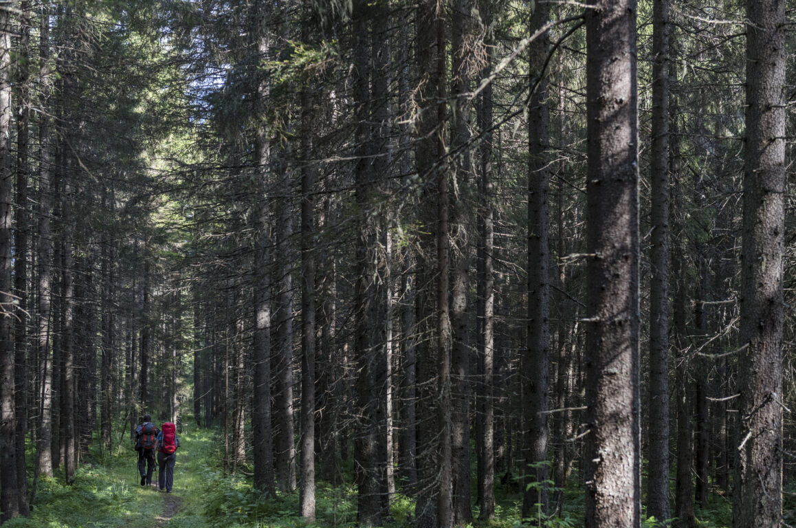
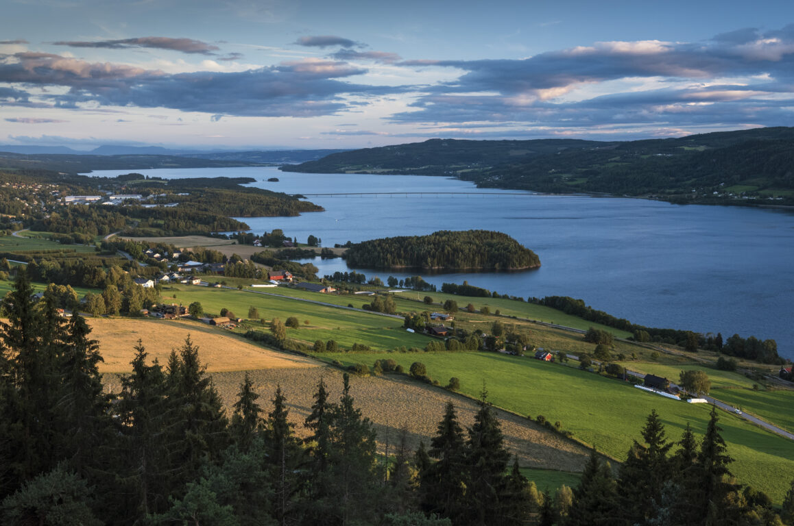
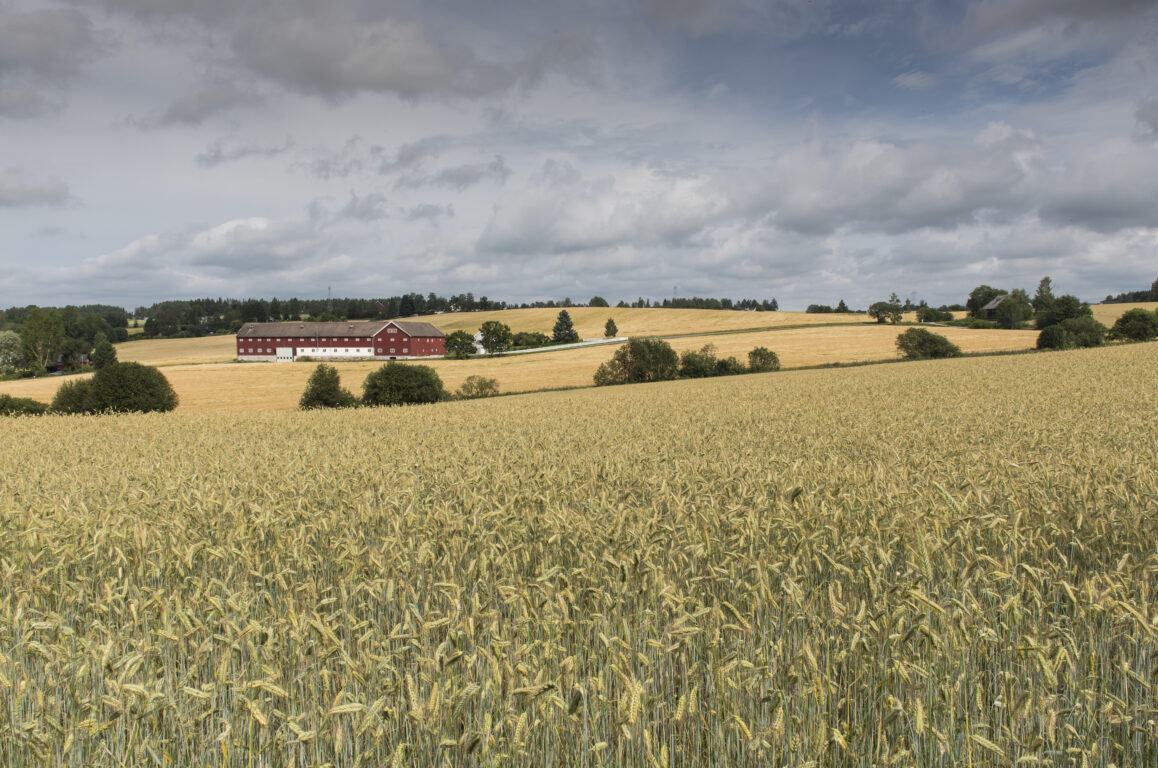
From Domkirkeodden, follow the Pilgrim path into Furuberget Nature Reserve. The area is known for, among other things, several rare plant species and the remains of a rural castle, visible with remnants of rock and earth ramparts. Along the path towards Brumunddal, you alternately walk on asphalt and dirt roads through a hilly, agricultural landscape and forests. Remember to use appropriate shoes for the ground. You pass Furnes Church, a stone church from 1708, and a typical medieval cave wall at Nordre Jevanol. Brumunddal city centre is a pleasant place to stop for a break at one of the cafés, before having to embark on the climb up towards Veldre. The reward is a beautiful view of Lake Mjøsa and the country side.
Accommodations on the stage:
- Pilegrimssenter Hamar and more (Hamar city)
- Hamar Vandrerhjem Vikingskipet
- Atelier Lefstorvet (Furnes)
- Wood hotel (Brumunddal)
- Kvarstad gård (outside Brumunddal)
Koss gård (Veldre)
Arrival Hamar and recommended period
You can easily reach the starting point in Hamar by both bus and train (70 minutes from Oslo), and Pilegrimsleden is located just below the station.
- See www.entur.no for both bus and train schedules
- You can also arrive in Hamar by the pilgrim boat Skibladner across Lake Mjøsa, see skibladner.no.
- Flight: Oslo Airport Gardermoen, 50 minutes by train to Hamar.
From the end point of the hike in Lillehammer, you can also easily travel by bus and train both north and south, as Pilegrimsleden passes right by the station.
The recommended hiking period is from May to September/October. If you hike outside the main season (June 1st - September 1st), remember to check the weather forecast and ensure that the accommodations are still open.
Day 2: (21 km) Veldre – Ringen
From Veldre church the pilgrim path continues on the idyllic Prestvegen ("The priest road") between Veldre church and Ringsaker church. The road was named because the Veldre priest lived by Ringsaker church and had to travel this way between parishes until 1876. Along the trail you will pass Norway's oldest pine Tokstadfurua and Prøysenstua; the Norwegian poet and songwriter Alf Prøysen's childhood home. Here is also a nice café with traditional, homemade food.
Next stop and 12 kilometres from Veldre, is Ringsaker Church. This medieval church from approx. 1180, beautifully situated by Lake Mjøsa, is dedicated to St. Olav.
From Ringsaker church, you will pass Mjøskastellet and the rock carvings at Stein farm. The pilgrim path follows trails and old roadways along lake Mjøsa towards Moelv village, where you can stop for supplies. On Smestadsletta just north of Moelv, you will find Ringsaker's answer to Stonehenge: the twelve-stone ring. This stone formation was erected in the early Iron Age 2,000-2,500 years ago and consists of 12 standing stones placed in a circle with a diameter of 25 meters. Continue further along the road, and turn right, up onto Ringsvegen. After about 2 km, you will reach Ringen.
Accommodation:
- Frichs Motell og Spiseri (Rudshøgda)
- Pilegrimsstuggua (ved Ringsaker kirke)
- Steinvik camping (Moelv)
- Ringen Rehabiliteringssenter (Ring)

Day 3: (16,5 km) Ringsaker – Brøttum
Today's stage continues on asphalt a few kilometres before you reach a path around Persvetjernet (pond) and further onto a gravel road towards the small village of Brøttum. Here you find Brøttum church, and also a grocery store. In Brøttum you can stay the night at Brøttum camping, or keep on walking to Brynn.
Accommodation:
- Tjelde
- Olasvehaugen
- Brøttum camping
- Brynn (Bergsengsroa)
Day 4: (12 km) Brøttum – Lillehammer
Today, the trail goes down towards lake Mjøsa again, and continues on a gravel road through hilly terrain past farmyards and forests. Along the gravel road past the old Bergseng station, you will eventually pass an old Olav's spring on the right side. This spring, a natural emergence, belonged to the holy springs that people sought in the Middle Ages to be healed of various diseases. The springs were often dedicated to a saint, and this one was dedicated to Saint Olav. There are many such historical Olav's springs along the entire Pilgrim's Route from Oslo to Trondheim.
After a while, the trail goes uphill until you reach National Road 213. Now you are on the last stretch, walking on a pedestrian and bicycle path until you arrive at Lillehammer city center after six kilometers. At Søre Ål church, there is a nice resting place for pilgrims, with an outdoor stamp available.
Lillehammer is a charming small town with a varied offer: Lillehammer Museum, Maihaugen, Sigrid Undset's home Bjærkebek, the Olympic Park, and Storgata – old wooden buildings and a shopping street with pleasant restaurants and cafés. Th pilgrim route passes Lillehammer church, which is open daily with volunteers all summer. Everyone is welcome here for a quiet moment.
Your trip has come to an end, relax and enjoy your evening in Lillehammer, or take the train towards home from Lillehammer station.
- Brynn (Bergsengsroa)
- HI Lillehammer Hostel with more (Lillehammer city)


Our digital trip planner
An overview of all accommodation options and more information can be found in our trip planner: Pilegrimsleden | Maps
Experiences along this route
-
Pilgrim Center
Pilgrim Center Hamar - visitor and information center, and hostel
Gudbrandsdalsleden -
Accommodation
Vikingskipet hotel and hostel
Gudbrandsdalsleden -
Accommodation
Seiersted Pensjonat
Gudbrandsdalsleden -
Church
Hamar Cathedral
Gudbrandsdalsleden -
Transport
The pilgrim boat Skibladner – the port at Hamar
Gudbrandsdalsleden -
Rest stop
Koigen
Gudbrandsdalsleden -
Rest stop
Artist bench by the pine tree
Gudbrandsdalsleden -
Museum
Domkirkeodden
Gudbrandsdalsleden -
Cultural Heritage
Norwegian Railway Museum
Gudbrandsdalsleden -
Accommodation
Hedmarktoppen Camping and Cabin Rental
Gudbrandsdalsleden -
Cultural Heritage
The fort at Furuberget hilltop
Gudbrandsdalsleden -
Accommodation
Artist studio at Lefstorvet
Gudbrandsdalsleden -
Church
Furnes church
Gudbrandsdalsleden -
Rest stop
Brumunddal town
Gudbrandsdalsleden -
Accommodation
Wood hotel - Frich's hotel and eatery Brumunddal
Gudbrandsdalsleden -
Transport
The pilgrim boat Skibladner - the port in Brumunddal
Gudbrandsdalsleden -
Restaurants or cafés
Matfatet in Brumunddal
Gudbrandsdalsleden -
Restaurants or cafés
Bakeriet i Brumunddal
Gudbrandsdalsleden -
Accommodation
Topcamp Mjøsa - Brumunddal
Gudbrandsdalsleden -
Accommodation
Kvarstad Farm
Gudbrandsdalsleden -
Accommodation
Koss farm
Gudbrandsdalsleden -
Church
Veldre church
Gudbrandsdalsleden -
Cultural Heritage
Prestvegen
Gudbrandsdalsleden -
Accommodation
Frich`s motel and eatery at Rudshøgda
Gudbrandsdalsleden -
Restaurants or cafés
Bolstad Restaurant
Gudbrandsdalsleden -
Rest stop
Prøysenhuset museum
Gudbrandsdalsleden -
Cultural Heritage
Prøysenstua
Gudbrandsdalsleden -
Restaurants or cafés
Café Fru-G
Gudbrandsdalsleden -
Church
Ringsaker Church
Gudbrandsdalsleden -
Accommodation
Pilegrimsstuggua at Ringsaker Church
Gudbrandsdalsleden -
Cultural Heritage
Mjøskastellet
Gudbrandsdalsleden -
Accommodation
Steinvik Camping
Gudbrandsdalsleden -
Transport
The pilgrim boat Skibladner - the port at Moelv
Gudbrandsdalsleden -
Shops or service
Moelv
Gudbrandsdalsleden -
Rest stop
Tolvsteinringen
Gudbrandsdalsleden -
Accommodation
Ringen Rehabilitation Center
Gudbrandsdalsleden -
Accommodation
Tjelde accommodation
Gudbrandsdalsleden -
Rest stop
Kløvstadhøgda nature reserve
Gudbrandsdalsleden -
Accommodation
Olasvehaugen
Gudbrandsdalsleden -
Accommodation
Brøttum Camping
Gudbrandsdalsleden -
Church
Brøttum Church
Gudbrandsdalsleden -
Accommodation
Brynn in Bergsengroa
Gudbrandsdalsleden -
Cultural Heritage
St. Olav Spring
Gudbrandsdalsleden -
Church
Lillehammer church
Gudbrandsdalsleden -
Transport
Lillehammer station
Gudbrandsdalsleden
Routes nearby
[[ notice ]]
We found no trail suggestions.
Try to filter on something else.