St. Olavsleden
Selånger – Stiklestad – TrondheimFrom coast to coast, crossing two countries
The pilgrim path St. Olavsleden starts in the town of Selånger on the east coast of Sweden, and ends in the city of Trondheim in Norway. The distance is 580 kilometers from start to finish. St. Olavsleden follows parts of the road that Olav Haraldsson traveled when he returned from Novgorod in Russia in the summer of 1030 to recapture the Norwegian throne. A journey that ended with the battle of Stiklestad, the death of Olav Haraldsson and the start of the era of St. Olav.
It is recommended to walk along St. Olavsleden between 1st June and 1st September. If you go outside this period, parts of the trail may be covered with snow and meltwater, and some of the accommodations may be closed.

How to do a pilgrimage on St. Olavsleden
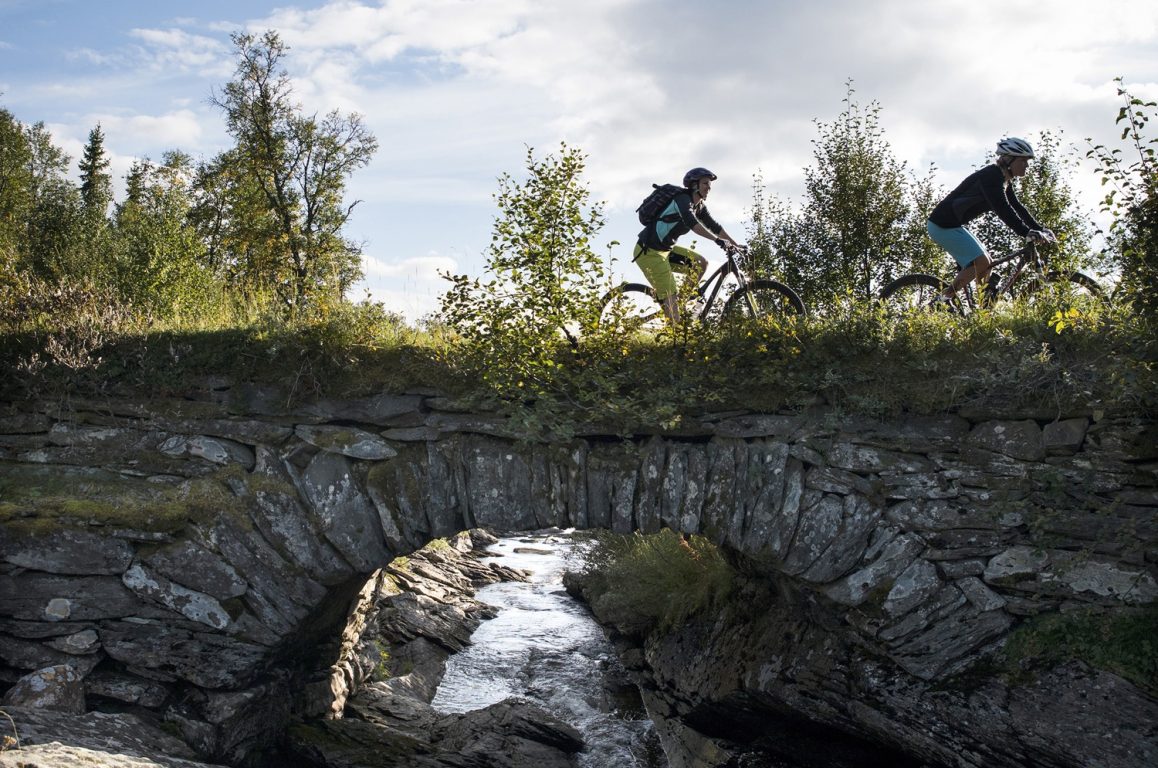
It takes approximately 32 days to walk the entire St. Olavsleden from Selånger to Trondheim, depending on the pace and how you travel. Some pilgrims walk parts of the path, combining the pilgrimage with train. Others take the opportunity to ride St. Olavsleden by bike, which is excellent - especially on the Swedish part of the trail.
St. Olavsleden is divided into 29 stages from the starting point Selånger to the Nidaros Cathedral in Trondheim. Most stages are about 20 kilometers, but some are up to 30 kilometers. You can find a stage plan and map on stolavsleden.com.
St. Olavsleden goes through many towns, which means it is easy to get to almost any part of the path to walk shorter stages. Accommodation varies from simple cabins, hostels and camping to hotels. Have a look at our recommneded trips to find shorter hikes on the Norwegian side of the path.

St. Olavsleden in Sweden
Large parts of the St. Olavsleden passes through Swedish nature and agricultural landscapes. Through wooded areas, along lakes, mountains, small towns and historical sites. Read more about the part of the route that goes through Sweden and accoommodations on the Swedish side at stolavsleden.com
St. Olavsleden in Norway
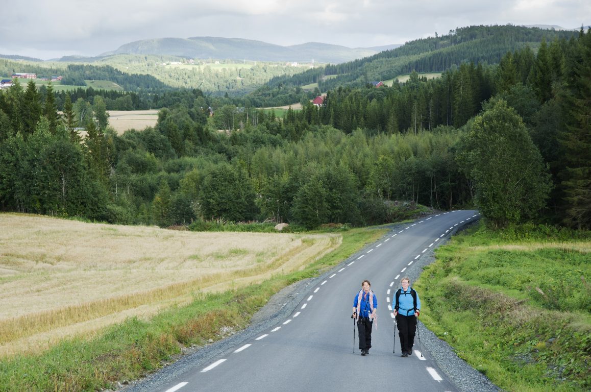
The border between Sweden and Norway lies in Skalstufjellet, a beautiful mountain area. After several days of asphalt walking in Sweden, the pilgrims will now meet the Norwegian part of St. Olavsleden. It passes through forests, valleys and agricultural landscape.
We recommend using our digital map for up-to-date information on accommodations in Norway. By choosing "Plan your own trip" you can use our pilgrimage planner and save your trip.

Foto: Øystein Moe/Helmet
Stiklestad
53 km after crossing the Norwegian border, you will arrive at the village of Stiklestad. Here, the Viking king Olav Haraldsson was killed in a major battle that took place on 29th of July, 1030. This event would have great significance for the development of the Norwegian nation.
Today there is a church on the site where the king died. Nearby is the Stiklestad National Cultural Center and a hotel.
At Munkeby, one day's walk from Stiklestad, the path divides into two alternative routes. Here, you have to make a choice on whether you want to continue the pilgrimage at the outer trail to Frosta along the fjord or along the inner trail through forests and hills.

Photo: Øystein Moe/Helmet
The Outer Trail
St. Olavsleden's outher trail goes through towns and villages along the Trondheim fjord, and passes many historical sites. You will be walking a lot on asphalt, so you'll need to have good shoes. It's easy to find grocery stores here, and you can stay overnight at hostels or hotels.
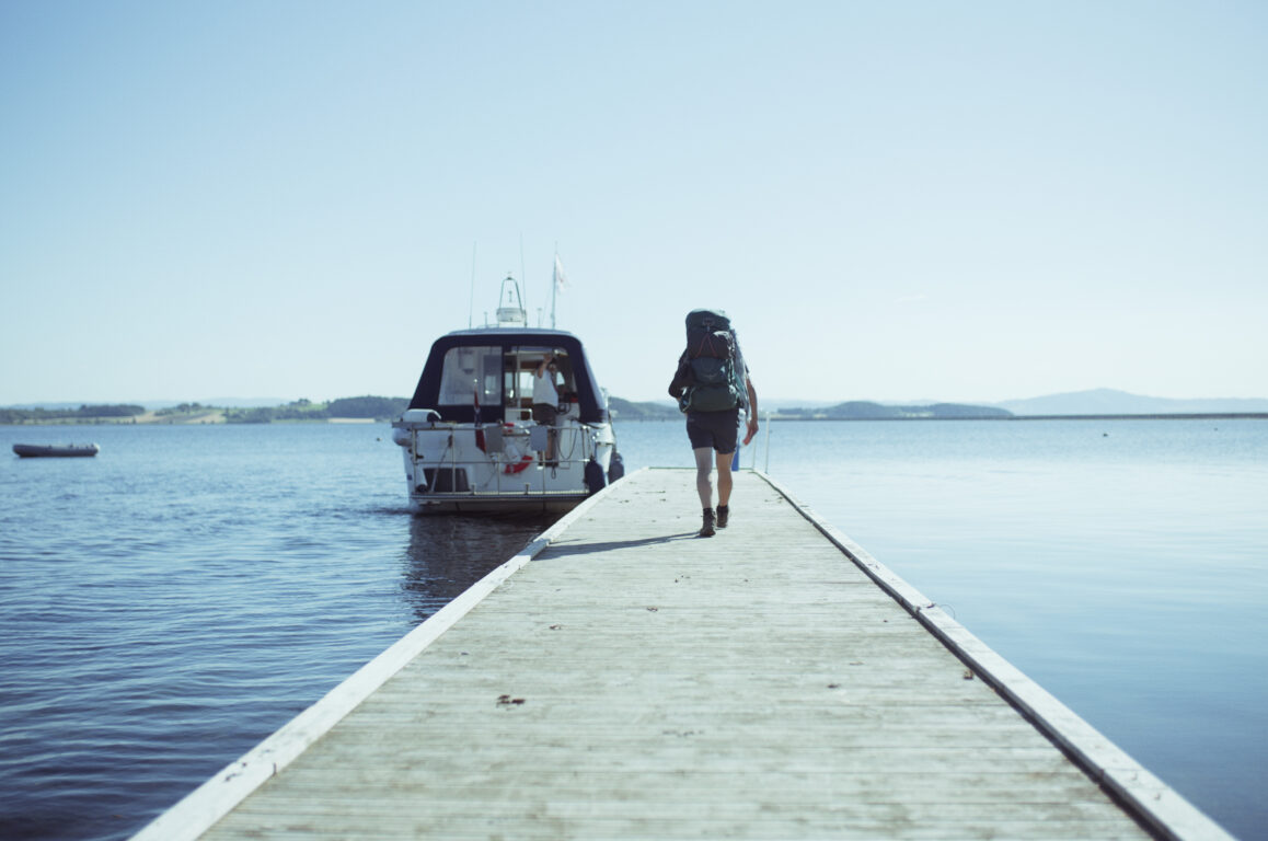
On some days during the summer season it is possible to take a boat for the last part of the pilgrimage from Frosta / Tautra to Trondheim. If the boat is not running, you can travel from Frosta / Tautra to Trondheim by public transport. You can book demand-transport (taxi at the price of a bus ticket) through the transport company AtB. The taxi can take you to Åsen train station.
Then you can take the train towards Trondheim and get off at Skatval station, and walk along the inner trail through Stjørdal, Malvik, and on to Trondheim. The train also stops at Trondheim Airport station. Alternatively, you can get off at Rotvoll station and walk the last part to Nidaros Cathedral (8 km).
Among our recommended trips you'll find a description of the stages along the outer trail.
The Inner Trail
St. Olavsleden's inner trail passes through deep forests. It is characterized by silence and nature. Pilgrims who choose this route will walk on forest trails and some wetland-areas. There is a long distance between grocery stores, so you either have to carry food or buy food at the simple hostels along the route. Hikers are advised to book food and accommodation in advance.
In the Malvik Area you may choose an alternative trail that goes along the coast of the Trondheim Fjord. On the alternative trail there are many grocery stores and some restaurants.
Among our recommended trips you'll find a description of the stages along the inner trail.
What surfaces do I walk on?
About 45% of the St. Olavsleden follows forest paths and dirt roads, 36% is paved roads and 19% is trails. With such a varied base, good footwear is important. You can read about footwear choices and other useful tips and advice in the page about package list and preparations.
When can I do a pilgrimage on the St. Olavsleden?
The main pilgrimage season in Norway is from June 1st to September 1st. In May and September, snow may fall in some areas, and in the mountains near the border, the snow can remain until the beginning of June. If you wish to hike outside the main season, you should contact Stiklestad Pilgrim Center for more detailed information about the conditions; send an email to stiklestad@pilegrimssenter.no
The weather is varied during the summer months as well, and on the first part of the route, it is often warmer than on the section from Östersund to Trondheim. It can be especially cold across the border mountains, while it often becomes milder again on the final stretch along the coast.
The weather in Central Norway changes frequently from week to week and day by day. Between 1st June and 1st September, the average temperature is 13 degrees Celsius. It can get up to 30 degrees Celsius, but it can aslo sink down to 1 degree. Therefore it's important to be prepared for both cases.
Although you will most likely need shorts, a swimsuit, and sunglasses, you may also need woolen underwear, windproof and waterproof clothing, a hat and gloves. Keep a close eye on the weather services www.smhi.se (for Sweden) and www.yr.no (for Norway) so that you have the right equipment and clothing for your trip.
On the St. Olavsleden you will find two regional pilgrimage centers which you can contact in advance for advice and guidance, or visit during the pilgrimage.
If you are planning to start your pilgrimage in Selånger, Sweden, we recommend that you visit Lilla Âpppelgården in Selånger. If you are going to walk St. Olavsleden in Norway, you can contact Pilgrim Center Stiklestad for advice and guidance, stiklestad@pilegrimssenter.no
What is St. Olavsleden?
St. Olavsleden is a pilgrim path from the Middle Ages. The trail goes from Selånger in Sweden to Trondheim in Norway, from the Baltic Sea in the east to the Atlantic Ocean in the west.
St. Olavsleden was re-opened in 2013 after extensive renovation work.
How long does it take to hike the entire distance?
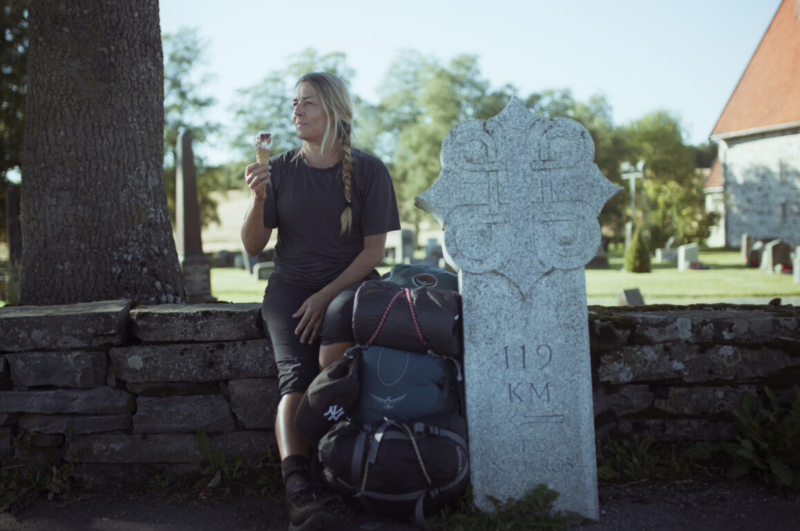
St. Olavsleden is approximately 580 kilometres long. Pilgrims usually walk about 20 km per day, and it takes 32 days or more to walk the entire trail. We recommend that you plan enough time to take a resting day when necessary. There are thousands of markings and signposts along the trail to show you the way.
What webpages should I use for planning and information?
For the Swedish part of St. Olavsleden, we recommend searching for information on stolavsleden.com. For the Norwegian part of St. Olavsleden, use the digital map here at www.pilegrimsleden.no.
Is it possible to walk only parts of the trail?
Yes, that is perfectly fine. The trail is divided into 29 daily stages from the starting point in Selånger to Nidaros cathedral in Trondheim. Each stage is about 20 km, some are up to 30 km. You'll find a map and list of all the stages at stolavsleden.com, or have a look at our recommended walks to find shorter trips on the Norwegian side of the border.
What time of year should I walk?
The main hiking season is in the summer between 1st June and 1st September. If you plan to go earlier or later than this period, you should contact Pilgrim Center Stiklestad for more detailed information about the conditions along the trail. Snow from the winter may still remain in May, and in September new snow may have fallen in some locations.
How is the weather?
In the pilgrim season betweeen 1st June and 1st September, the average temperature is 13 degrees Celsius. It can get as cold as 1 degree, and as warm as 30 degrees. The eastern part of the trail trough Sweden is usually warmer, the section from Östersund to Trondheim can be colder because it passes through the mountains. Keep an eye on the weather services SMHI.se and Yr.no.
What is the terrain like?
On the Swedish side before the border, there are often long flat stretches with some ups and downs. On the Norwegian side, the hike mostly goes through populated areas, cultural landscapes, some narrow valleys, and forests. But there is also steep and demanding high mountain terrain, especially at the border on the Norwegian side.
How can I prepare?
You should prepare yourself by practicing walking 20 kilometers distances with your backpack on, both on flat and steep terrain. This way, you can train your body and test your shoes and backpack.
Another good advice is to get travel insurance.
What should I bring?
Have a look at our Preparation and Packing List page.
Clothes: You will most likely need shorts, a swimsuit, and sunglasses in the summer season, but you also need to be prepared for low temperatures. Remember to bring warm wool clothing (not cotton) like wool underwear (thin pants + sweater), a hat and gloves. Additionally, you need wind- and waterproof outerwear and shoes/boots for when it rains and when crossing marshes and streams. Many hostels have shoe dryers, but not enough for many hikers.
Shoes: The shoes should be well broken in, high/supportive above the ankles, and wide and long enough inside. This is because the foot should have room to slide slightly forward and swell a bit without causing blisters. Consider using blister socks as protection on the inside and an extra thin wool sock over them.
Backpack: It's important not to pack a too heavy backpack, so think carefully about what is necessary to bring. Clothes and other equipment alone can quickly add up to 10 kg. Remember that some hostels offer laundry services along the way. It could be wise to avoid tents and camping gear (which often results in backpacks weighing 15-20 kg), but just bring a light sleeping bag that can be used in hostels.
Every year, some pilgrims have to interrupt their hike due to injuries in the back, legs, or feet. This is often due to a lack of preparation and insufficient rest and care along the way, so we recommend planning well and avoid packing too heavily. Read more tips about backpacks and packing here.
Can I hike alone?
Yes, you can. But think about whether you really want to, many find it challenging to hike alone for 10 days without meeting others. If you want assistance with planning or want to join a group tour, you can find information, organized trips and recommended walks here on pilegrimsleden.no or nordicpilgrim.com.
Be prepared for unexpected events. Read up on safety along the Norwegian pilgrim trails. Bring extra clothes, enough food and drink, a reflective vest or headlamp, and first aid equipment to help yourself and others. Remember to keep your phone charged in case you need to call for help.
Sweden: Emergency services 112. Police 114 14 (for non-emergencies).
Norway: Ambulance 113. Police 112. Fire services 110.
Where can I stay overnight?
Accommodation options vary along St. Olavsleden, and you will find everything from hotels to simple, self-catering cabins and lean-tos. There are several campsites and private offers. You can find accommodation in our planner, where they are marked in the map with a bed symbol.
Are there grocery stores along the trail?
Yes, but in some places there’s a longer distance between shops, such as from Borgsjö-Bräcke and Duved-Verdal (four days of walking), so it’s important to plan ahead. On many of the sections there are restaurants and cafés where you can enjoy a moment’s break in your pilgrimage.
How do I pay?
In Sweden and Norway, it’s common to pay with credit cards such as Visa and Mastercard, this works in most shops. When it comes to accommodation, hotels and the larger facilities accept cards, but payment is mostly by cash or the Swish payment app (Sweden) or Vipps payment app (Norway) for private accommodation.
Are there dangerous animals in the area?
The wild animals in Norway are very shy and rarely pose a threat to adult humans without weapons and dogs. However, one should keep a distance if encountered and leave them alone by calmly leaving the area. Both wolves, bears, lynxes, wolverines, and foxes are wild animals that are rarely seen, as they are smart enough to keep a good distance from humans.
What should I do if I meet domestic animals?
If you are walking with a dog between 1st april and 20th of August, it must be kept on a leash to prevent that it scares or chases birds, wildlife and grazing animals. Young animals like calves and lambs should be left alone; they will find their mothers even if they leave them for short periods. Observations of injured livestock can be reported to the nearest house or farm.
Is it possible to drink the water from streams and lakes?
Yes, in most places. Find running water, it's safer to drink than water that is standing still. Avoid streams running through animal grazing areas or cabin areas, as they may be contaminated with bacteria and parasites. Also, avoid drinking water in areas with many birds or in years with many lemmings and mice. If you are unsure, boil the water before drinking it.
Do I need a pilgrim passport?
Pilgrim passports are an old tradition; in former times they proved that you were a true pilgrim. Today they are a symbolic item that many pilgrims choose to acquire as a nice travel memory.
You can collect stamps for your pilgrim passport at your accommodations, churches and other places along the trail. You can buy a pilgrim passport at all the tourist offices along the trail, Selånger’s parish, Quality Comfort hotel in Sundsvall, at reception of The cultural centre in Stiklestad or at Nidaros Cathedral in Trondheim.
If you would like to have a diploma for your pilgrimage, you need to have a pilgrim passport with stamps that show that you have hiked at least 100 km or biked at least 200 km of the last part of the St. Olavsleden before the final destination Trondheim.
Are there tourist offices along the way?
There are tourist offices in the following places along the trail; Sundsvall, Borgsjö, Östersund, Krokom, Åre and Trondheim. You can buy and stamp your pilgrim passport there and also receive useful information about the area you are in. Please note their opening hours.
Are there guidebooks about St. Olavsleden?
Yes, there are guidebooks in Swedish, German, English and Dutch. Here is a list.
Please note that we cannot guarantee updated information in guidebooks, these may be out of date. You can find updated information on the digital map at here at pilegrimsleden.no
Internet and mobile coverage
In Norway and Sweden there is mostly 4G coverage, in some places 5G. There may be inadequate mobile phone coverage in the areas around the border. Many accommodations offer free Wi-Fi to guests.
Phone numbers in case of emergency:
Sweden: Emergency services 112. Police 114 14 (for non-emergencies).
Norway: Ambulance 113. Police 112. Fire services 110.
You can read more about hiking preparations and safety at Fjällsäkerhetsrådet (the mountain safety council of Sweden)
On Facebook you will find the group Hiking along St. Olavsleden, where experienced pilgrims, hosts and enthusiasts help you with answers to your questions. You can find the group here: https://www.facebook.com/group...

If you need more help or guidance, our regional pilgrimage centres are always ready to help you. Contact me, Janne, and either I will answer you or one of my colleagues at the other regional pilgrim centres. Save time by checking if the answer to your question already exists on Frequently Asked Questions.
Route suggestions along St. Olavsleden
[[ notice ]]
We found no trail suggestions.
Try to filter on something else.